


When the pilgrims of Makkah suffered from severe thirst, Zubaida bint Jaafar did not wait for a solution but created one in 194 AH (809 CE), launching a lasting project. She said, "Build it even if it is a strike of an axe for a dinar." The channel cut its way from Jabal Kara, crossing valleys and rocks to supply Makkah and the sacred sites for over 1,200 years. She spent immense wealth, leaving her mark in history not just as a queen but as a woman of remarkable generosity. And today, despite the arrival of desalination plants, the remnants of the channel still stand as evidence of an advanced civilization and remarkable engineering. It remains a testament to strength of will and greatness of generosity, telling the story of a woman whose spring of kindness has never run dry throughout the ages.
When Zubayda bint Ja‘far, the wife of the Abbasid Caliph Harun al-Rashid, learned that the spring she had built in 194 AH (809 CE) from Wadi Hunayn and directed toward Makkah no longer met the needs of the pilgrims in the sacred sites - because it did not pass through them- and when news reached her of the hardship faced by the pilgrims due to water shortages and soaring prices, to the point that a single water-skin was sold for ten silver dirhams, she ordered the construction of another spring. Its first source was at the foot of Jabal Kara, 42 km east of the Sacred Mosque. Its channel extended through its second source in Wadi Nu‘man to ‘Arafat and Muzdalifah, and then behind the southern side of Mount Minā until it emptied into ‘Zubayda Well in the Mafjar area, known today as al-‘Azīziyyah.
The engineers excelled in completing this monumental project, fulfilling Zubayda’s vision - an achievement for which history remembers her, and on which she spent the equivalent of 5,950 kilograms of gold.
This spring continued to supply the people of Makkah and its pilgrims with fresh water for twelve centuries, preserved throughout the ages and undergoing many cycles of maintenance and restoration.
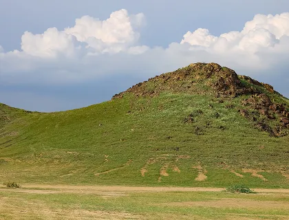
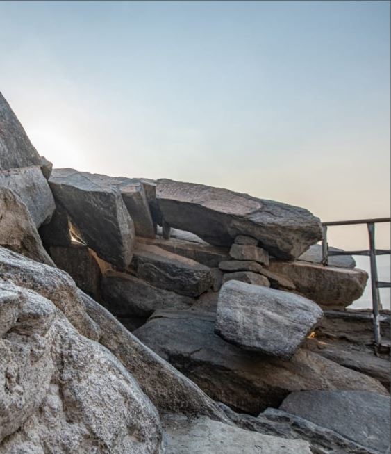
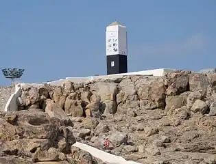
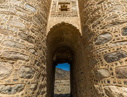
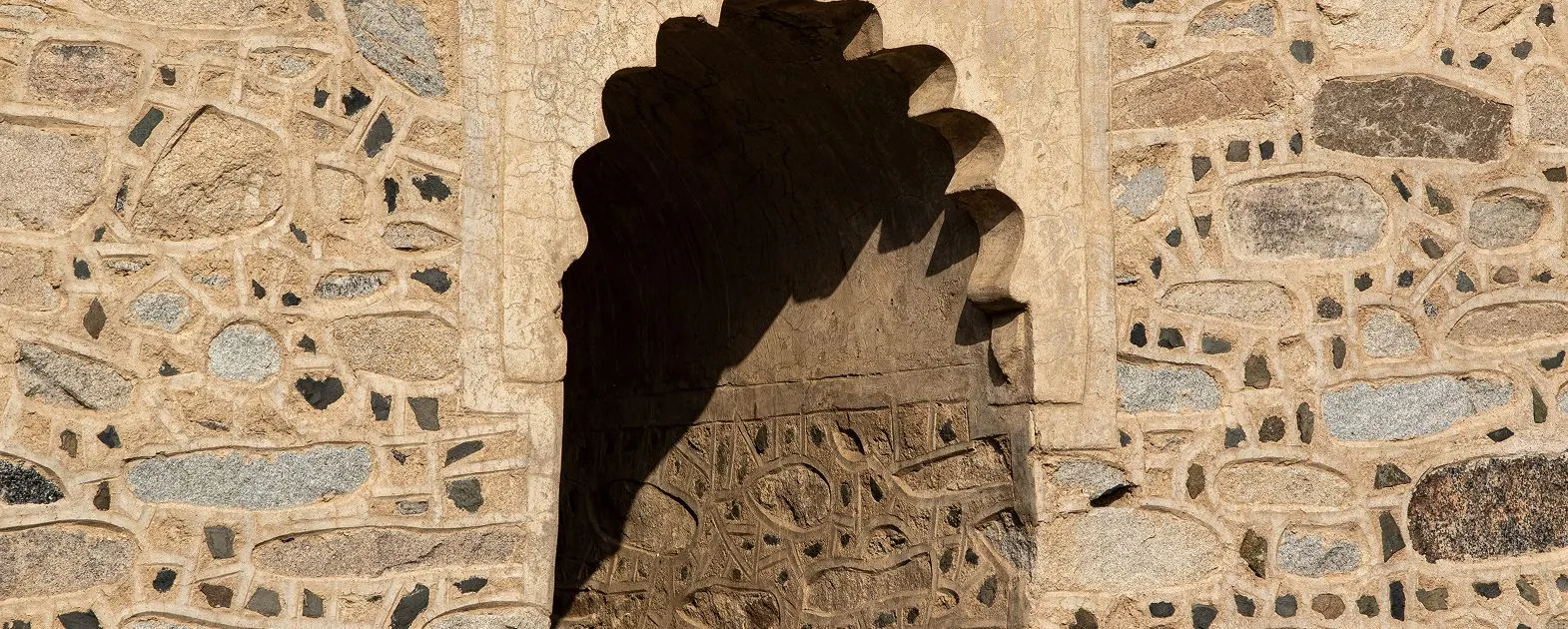
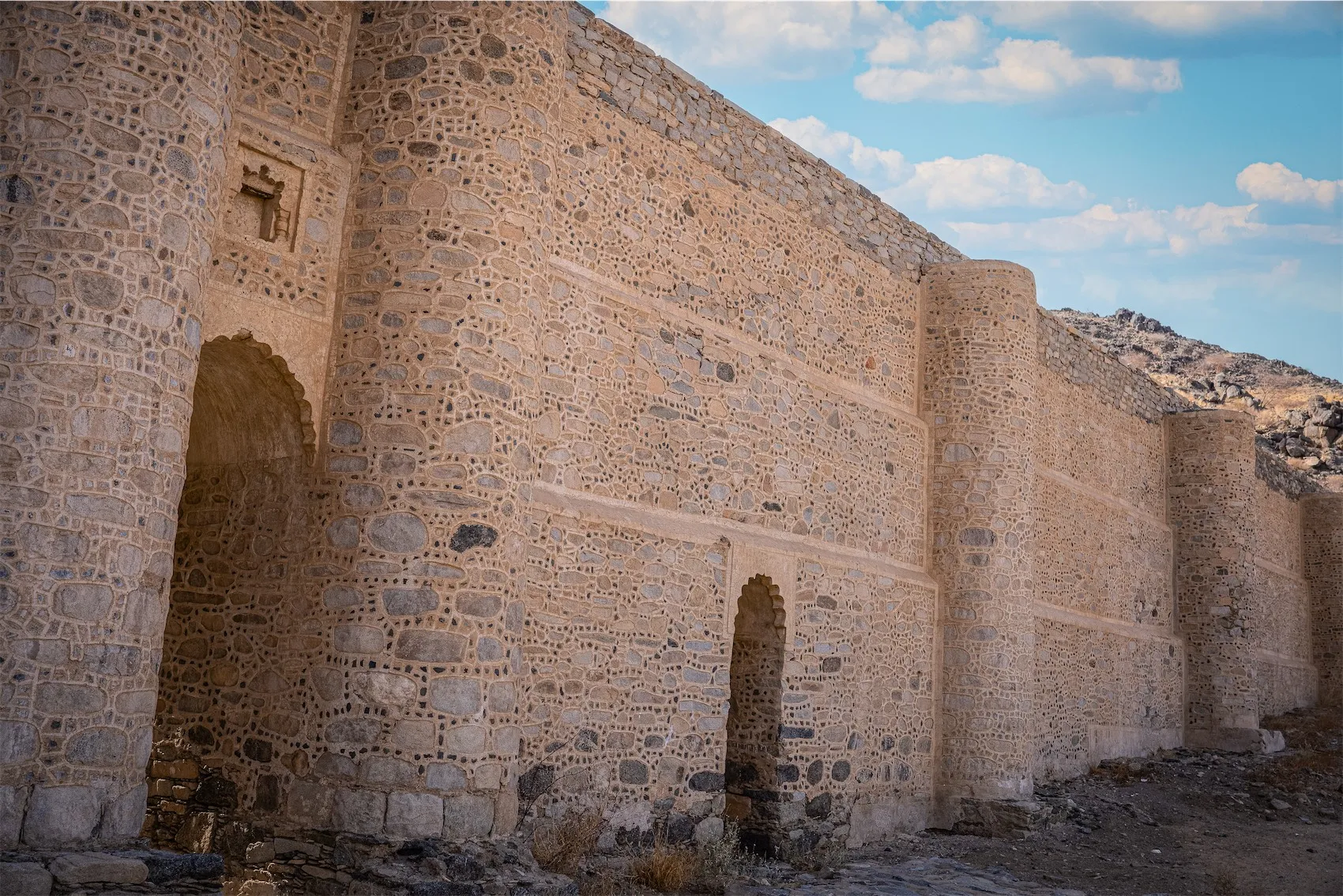
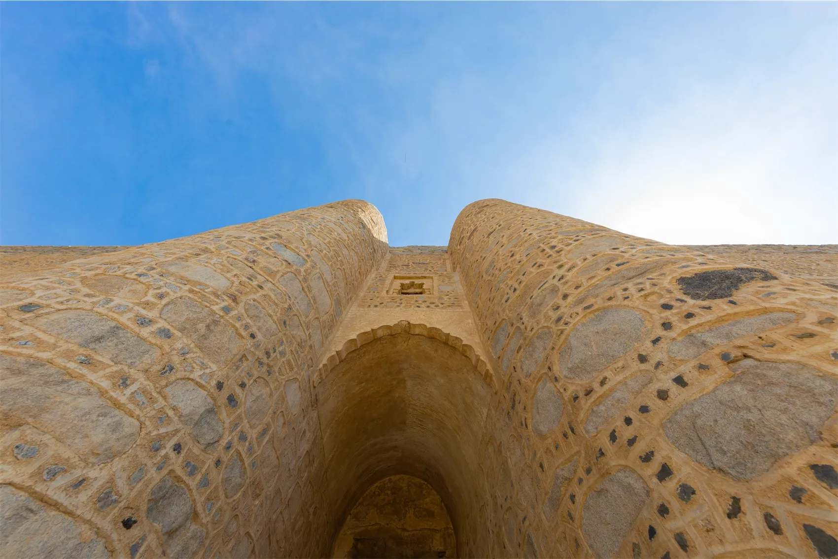
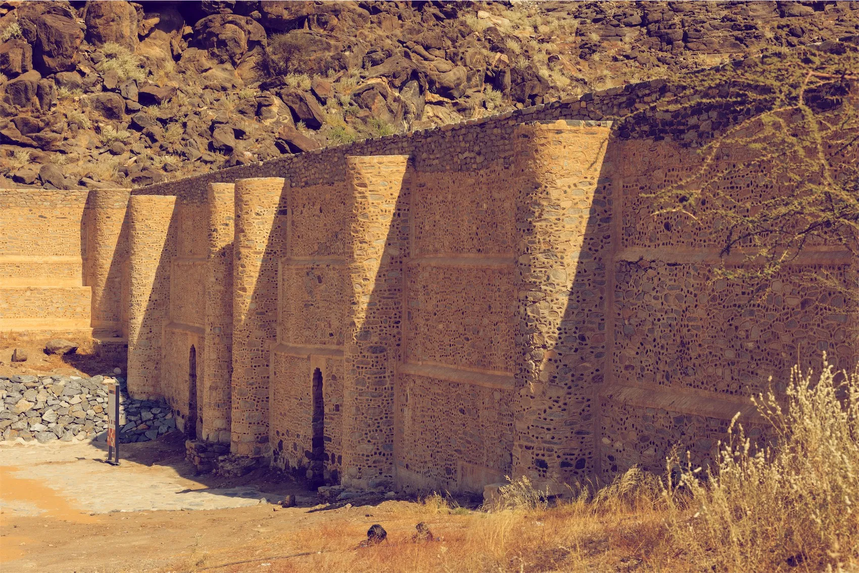
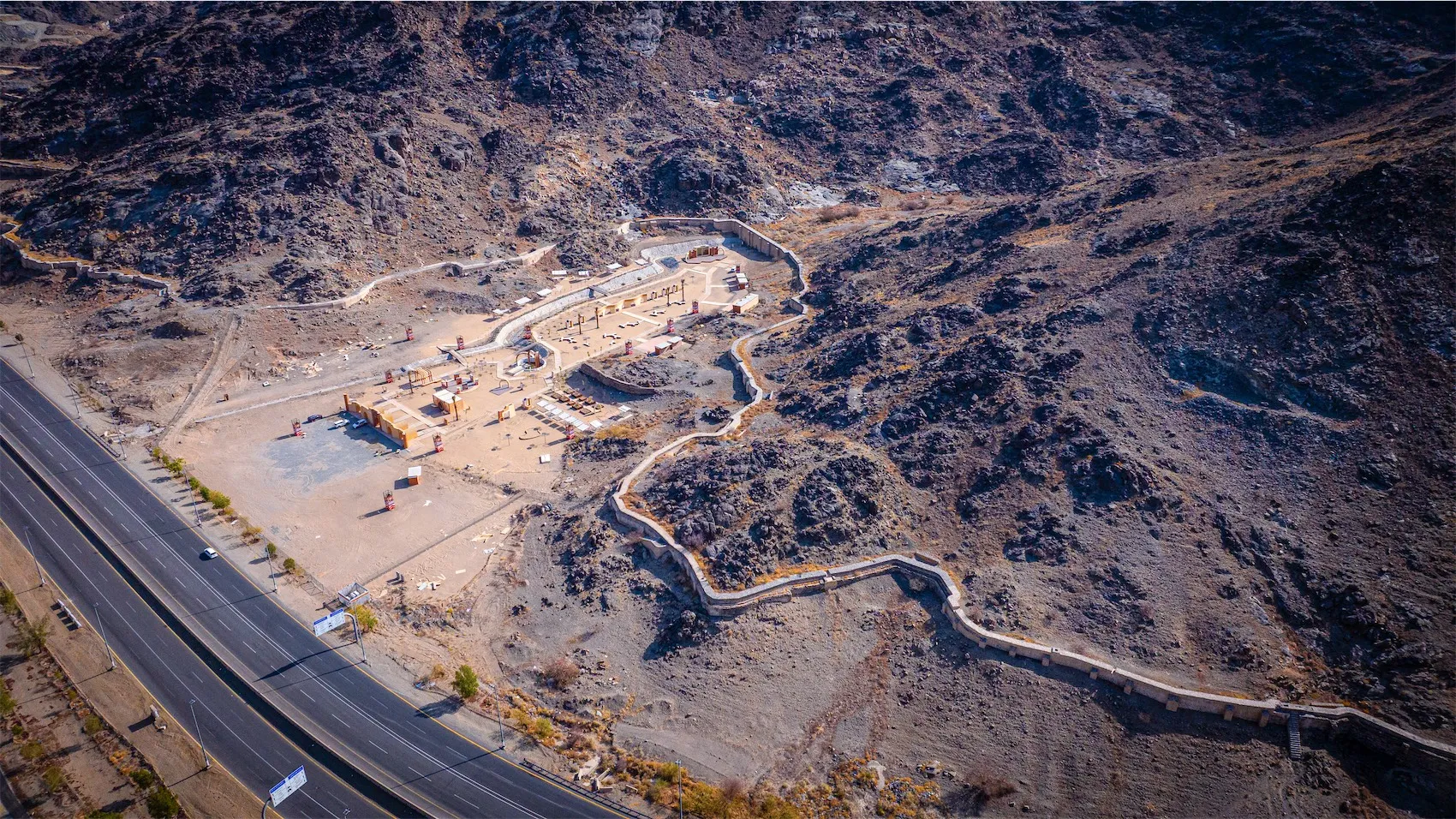
Standing along the Dhab route, part of Zubaida Spring channel between Arafat and Muzdalifah, the bridge rises 10 m, built of stones and plaster. It has a precisely laid stone water channel, drainage openings, and supporting structures to protect against floods. It is a remarkable example of engineering and a historic monument showcasing Zubaida’s generosity.
Throughout history, these bridges were repeatedly maintained, and in later periods new aqueducts were built while preserving the old ones to serve as support and as a testament to earlier efforts.
The Khasrah bridges are remarkable examples of engineering and a historic monument showcasing Zubaida’s generosity.
1- The channel: carries water from its source to the end, built of stone, approximately 1.25 m wide and 1.50 m high, with bends to slow the water flow.
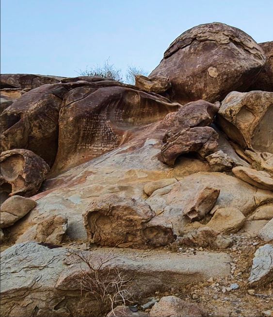
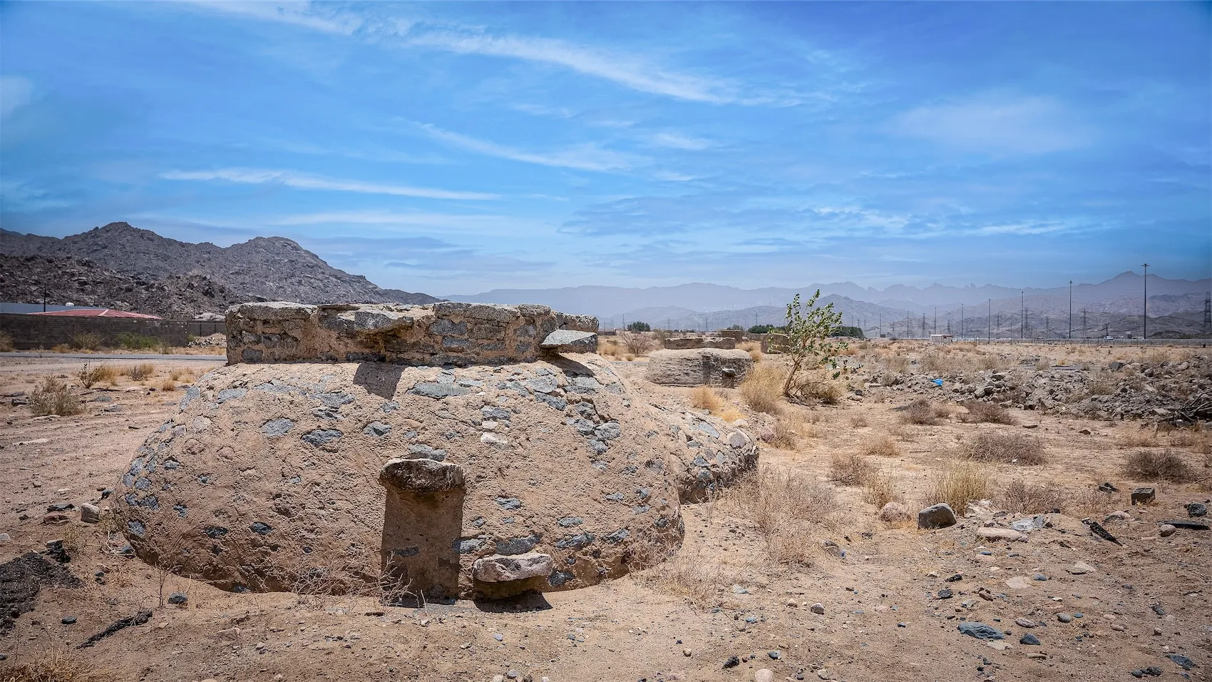
2- The "Kharzat": They are inspection chambers positioned along the canal on elevated, vertical shafts, resembling wells, used to draw water and clean the canal when needed. Their height ranges from 1 to 3.5 meters, and some reach a depth of up to 34 meters, though this may be less depending on the slope of the land. The channels take various shapes, and those located along the course of Wadi Nu‘mān feature pointed, curved arches to protect against the risk of flash floods.
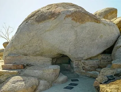
3- Pools: The pools are essential for storing water and generating sufficient pressure to drive it through the canal. Without them, proper water distribution would not be possible. The Awjar Pool at the base of Jabal Karā was the first pool to receive water from the spring’s sources, but it no longer exists today, likely having disappeared along with other pools of the spring.
4- Shihahidh: These are small dams built at the foothills of mountains to collect runoff water and then channel it to the main pools through underground conduits to support and increase the water supply. Some were constructed at the base of Jabal Karā, and others near al-‘Aqim to compensate for the loss from the Awjar Pool. None of them exist today.
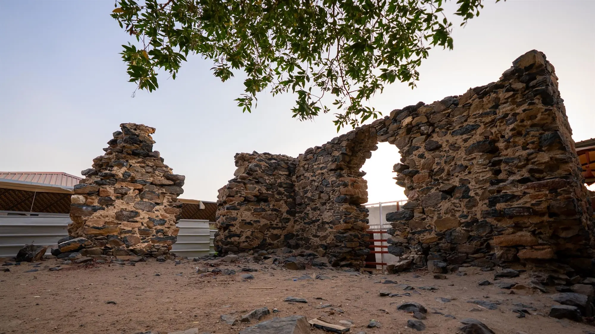
5- Bazans: underground water tanks, covered with vaults with an opening for water collection, attributed to Engineer Bazan, who updated the system in 726 AH.
6- Bridges: ʿAin Zubayda’s canal passes through valleys, plains, and mountains. To ensure the smooth flow of water, it was necessary to build bridges over the valleys, which take different forms depending on their location. Some are supported by arches and columns, such as the ‘Arnah Bridge and the Khāsirah Bridge, while others are attached to the edges of mountains, such as the southern Jabal al-Mazim Bridge between ‘Arafāt and Muzdalifah..
ʿAin Zubayda’s draws its water from its first source at the foot of Jabal Kara, from where it flows to a place called al-Awjar in Wadi Nu‘mān, where the water collects in a pool. It then continues through a channel to al-‘Aqim, the second source, before heading toward the land of ‘Arafat, where it winds around the base of Jabal al-Raḥmah on three sides.
From ‘Arafat, it flows westward, crossing Wadi ‘Arnah, then runs along the edges of the southern Jabal al-Mazimin, passing the Khasirah bridge, and continues to Muzdalifah until it reaches Wadi Mahsar at Duqm al-Wabar.
From there, the canal’s course follows the edges of southern Mount Mina until it reaches al-Mafjar, where it empties into a large well called ‘Zubayda Well in the area known today as al-‘Aziziyyah, marking the end of this great canal.
In the late 10th century AH, the canal was extended to reach al-Abṭaḥ to connect with the canal of Ayn Hunayn, so that the waters of both springs flowed together through a single canal into some neighborhoods of Makkah.
The total length of the canal from its source to its end is estimated to be approximately 36.95 km.

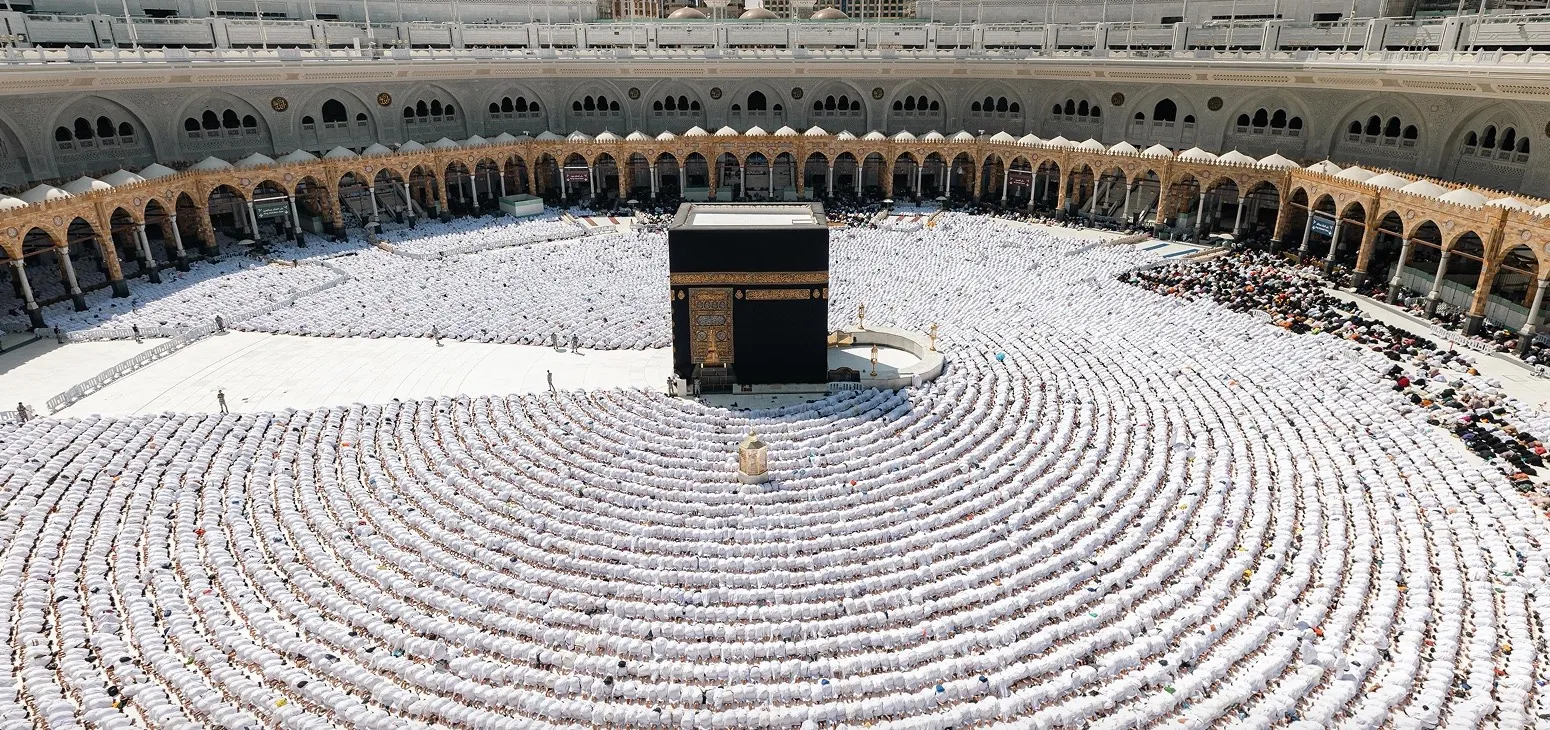
Discover Makkah’s Key Historical And Spiritual Sites.
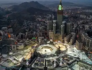
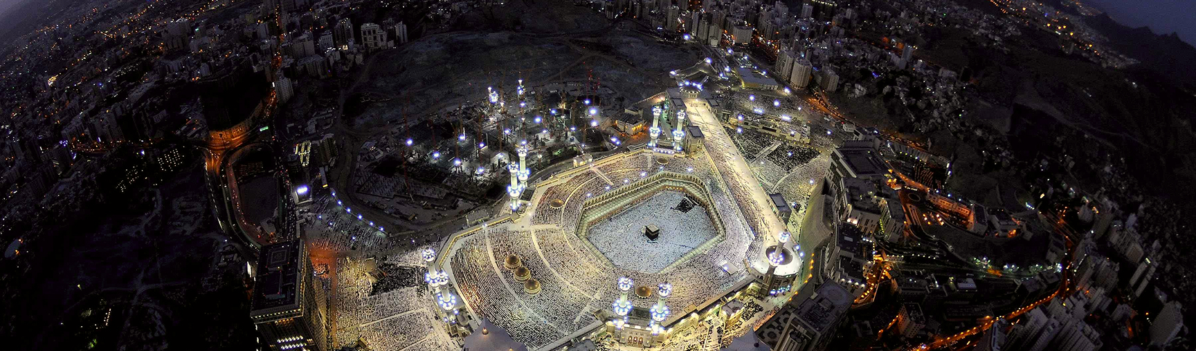
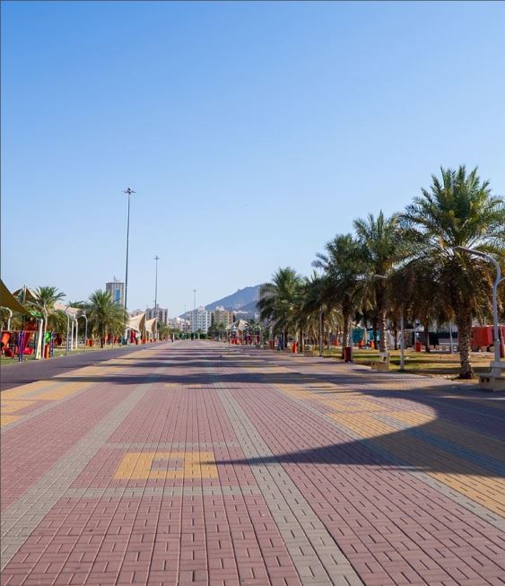
Makkah
24/7
From one to two hours
Free
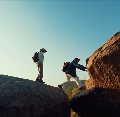
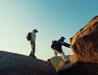
Wear comfortable shoes and light clothing. Visit early or before sunset, and bring water, a hat, and sunglasses to stay cool while exploring.
For your safety, follow designated paths and avoid unstable areas. Bring a flashlight if visiting during low light.
Capture photos at sunrise, when the rays beautifully wrap around the stone arches.
Last Updated : 25/06/1447 - 10:35 ص Saudi Time


.webp?language=ar)

.webp?language=en)
.webp?language=en)
.webp?language=en)
.webp?language=en)

.jpg?language=ar)
.jpg?language=ar)


.webp?language=ar)


.jpg?language=ar)
.webp?language=ar)
 Language Switching


